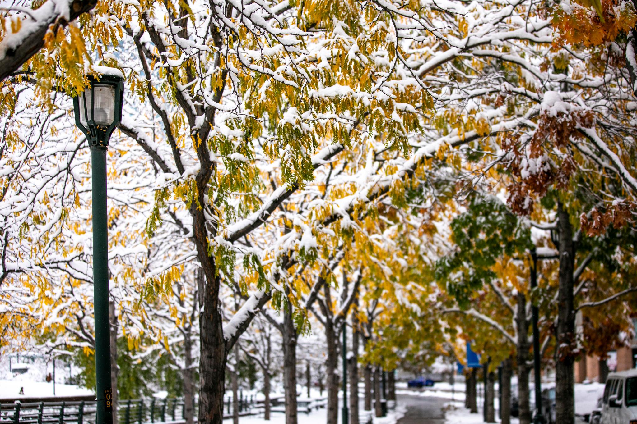
The snow storm that rolled across southern Colorado and into the Front Range Wednesday night will clear by Thursday evening, but not before lifting snow totals above average for the month.
Graupel, or corn snow, the type of precipitation that forms when supercooled water droplets freeze onto falling snowflakes, fell in north Denver and Aurora early Thursday morning while the rest of the storm path saw a wintery mix.
National Weather Service Meteorologist Bruno Rodriguez said several narrow bands of snow extended down from the Palmer Divide into Castle Rock, Castle Pines, the Northeast Ward, and up through Denver International Airport on the plains.
The storm also extended east along the I-70 corridor to Limon. Most areas are expected to begin drying out by midday with the possibility of lingering flurries in the Palmer Divide into the early afternoon.
Thursday’s accumulation will push the Denver metro above average for January snowfall. As it stands, DIA has recorded about two tenths of an inch above average for this time of year.
By the weekend, the storms clear with areas in the metro and plains heating up quickly.
Temperatures could break 60 degrees in the Denver metro toward the end of the week, and Southern Colorado can expect highs in the mid-50s. Similar conditions are forecast for Grand Junction. Overnight temperatures are still likely to dip below freezing statewide.
Meanwhile, the northern mountains could see some more light snow Saturday night into Sunday morning before things clear up fully Sunday evening.